Great Trekking in Western Tien Shan: from Talas to Sary-Chelek
Trekking from Talas to Sary-Chelek is a real journey through the natural treasures of the Western Tien Shan of Kyrgyzstan, where every step reveals new breathtaking views. This is a road where nature seems to tell its stories through the sounds of the wind, the murmur of mountain streams and the majestic silence of the mountains.
The route begins in the Talas Valley, where the soft silk of steppe grasses caresses the eye, and the air is filled with freshness and aromas of mountain plants. The morning sunrise gently spreads over the fields, giving everything around a golden hue. Here, the pastures are strewn with flowers, and in the distance, the mountains seem like bluish giants inviting you into their world.
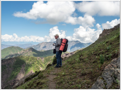
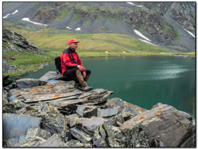
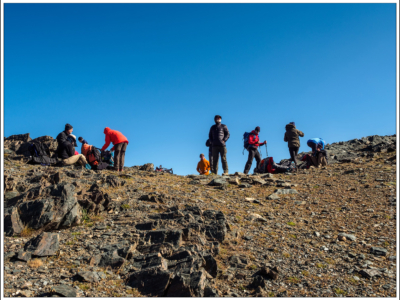
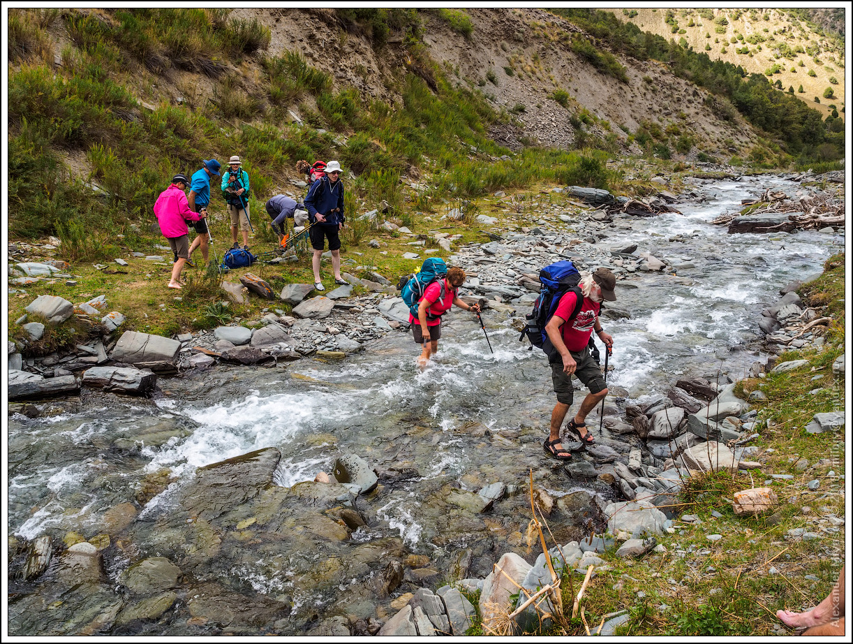
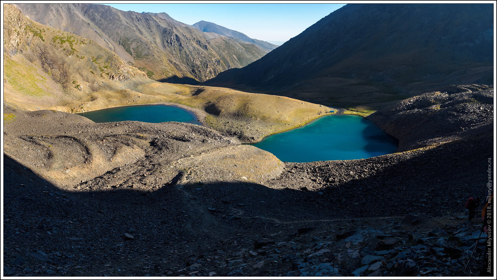
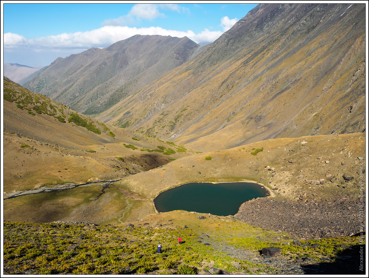
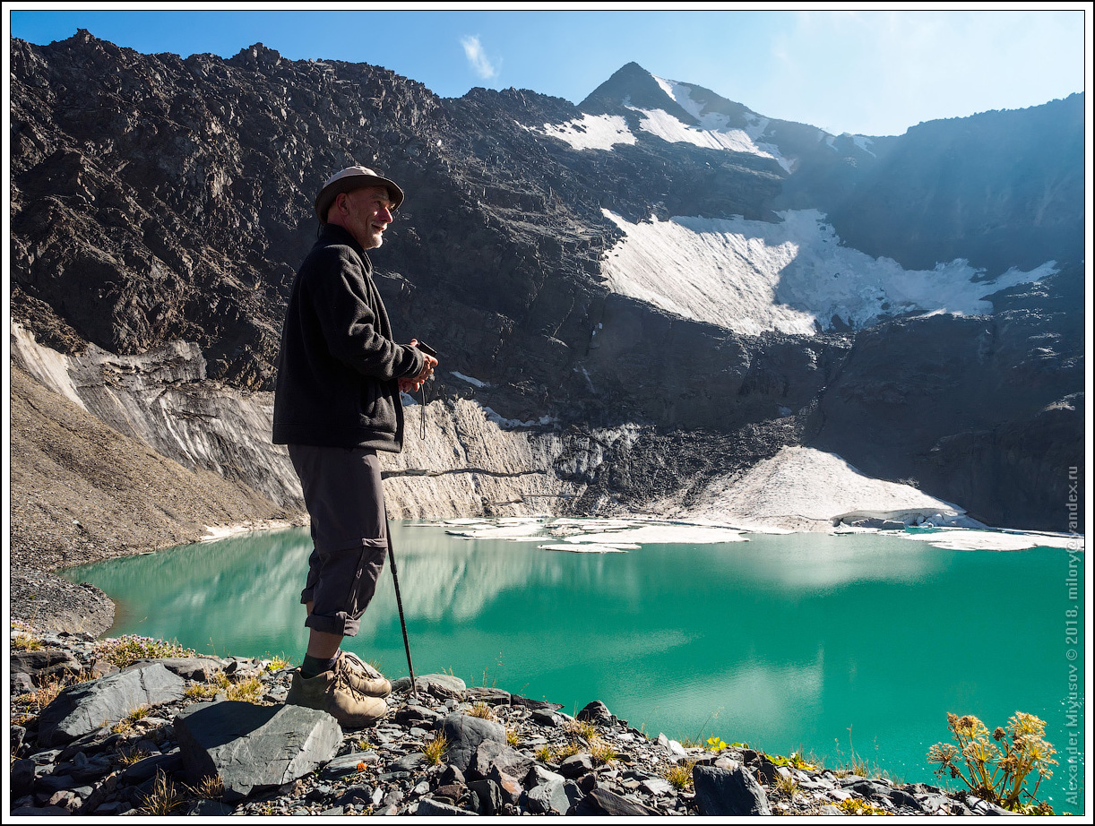
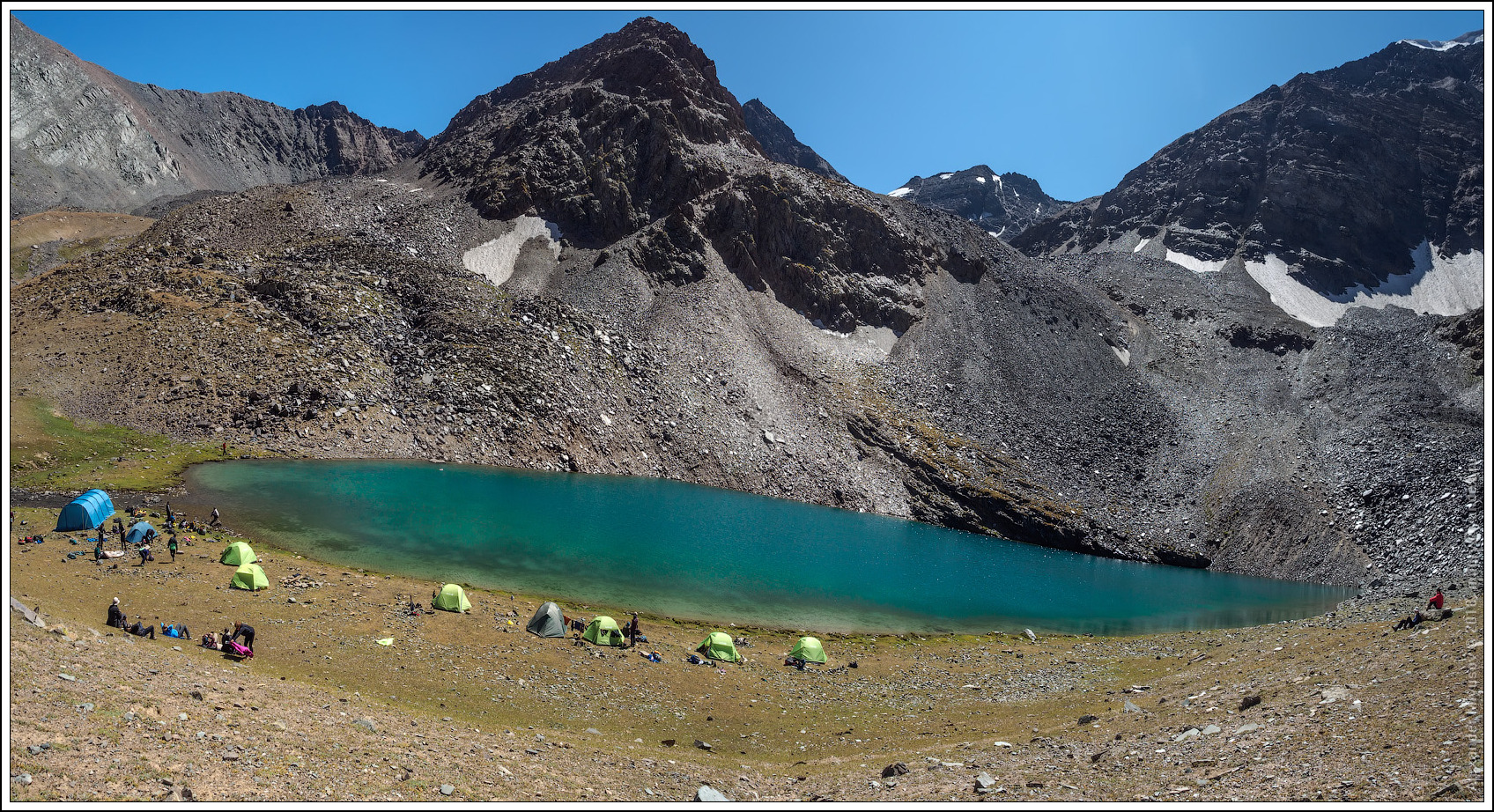
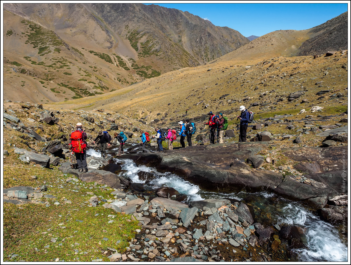
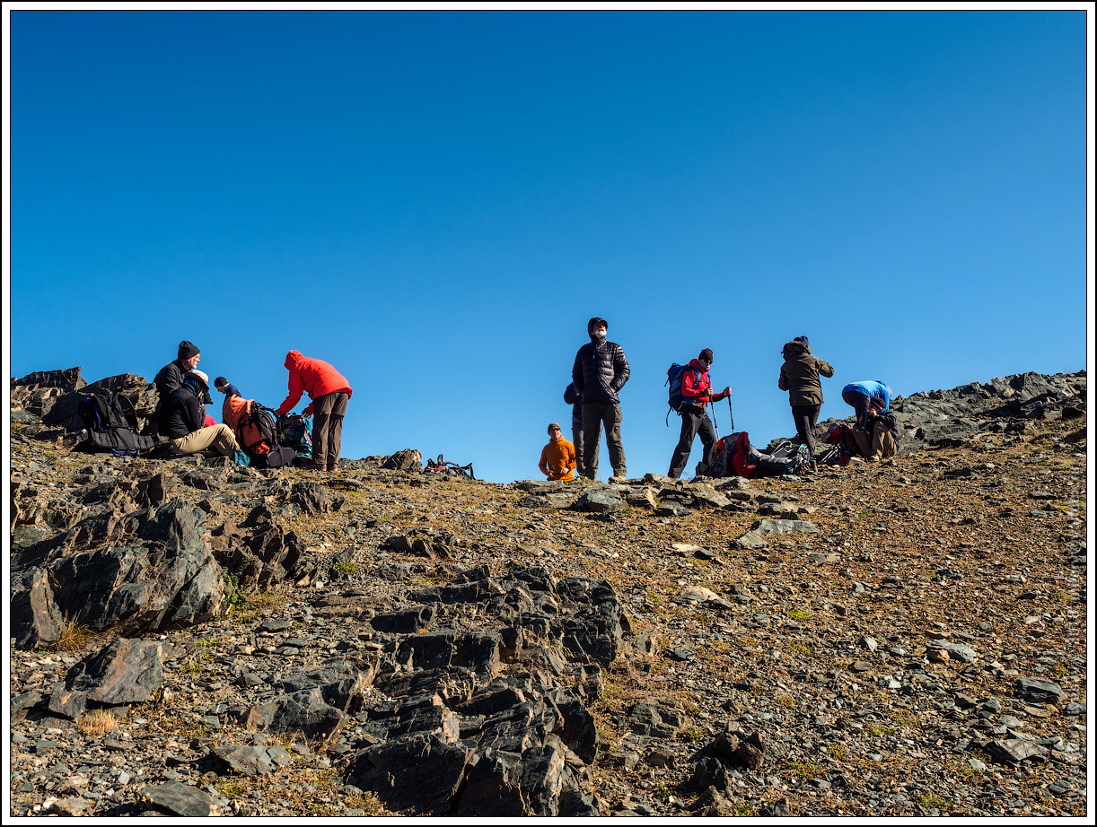
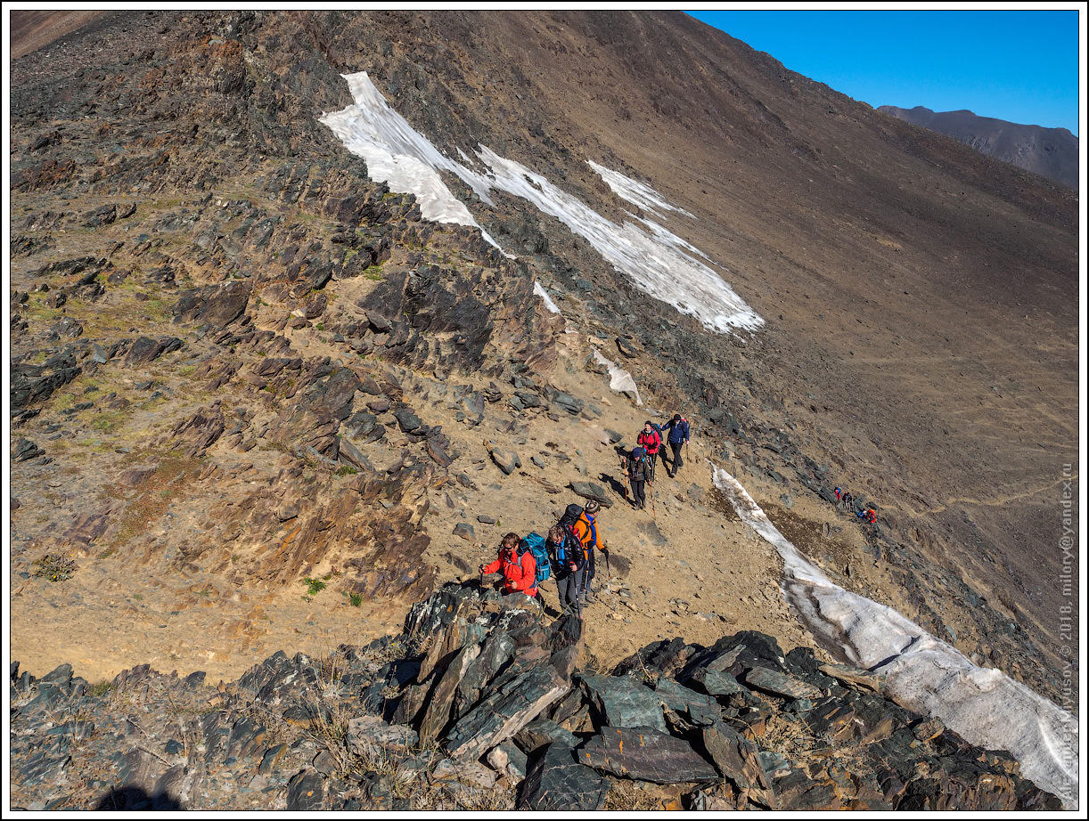
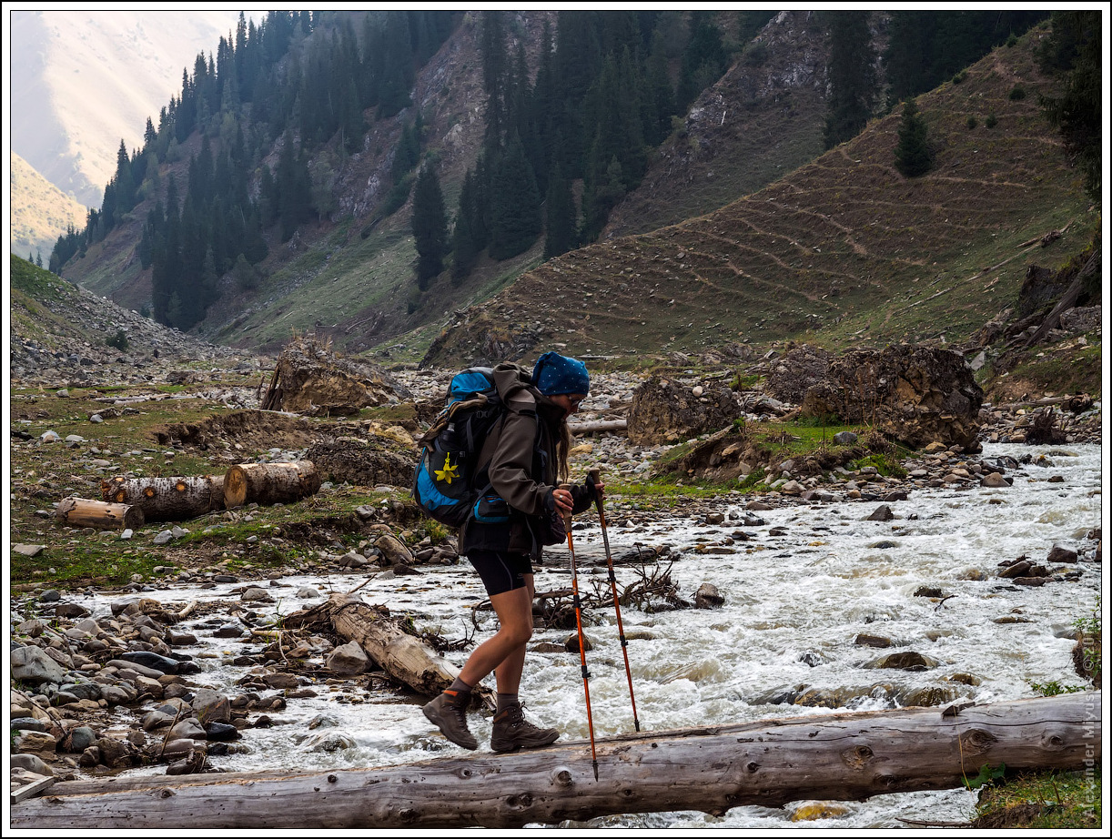
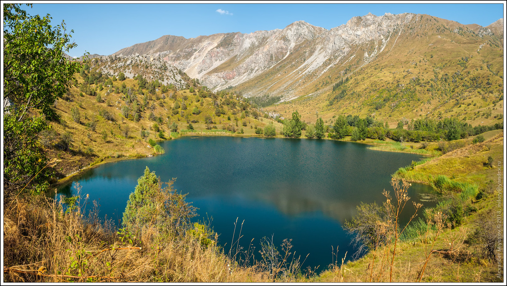
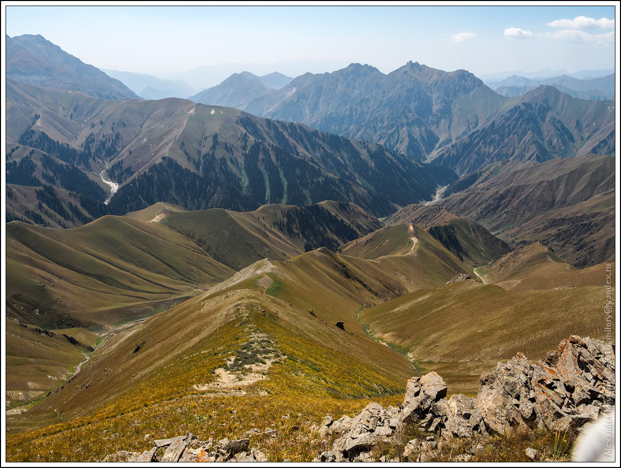
As you climb to the passes, the landscape becomes more dramatic. Harsh cliffs covered with dark pine give way to soft alpine meadows. Crystal clear streams, fed by melting glaciers, meander along the trail, shimmering silver in the sun. Sometimes you come across tiny lakes hidden among the rocks, like mirrors reflecting the bottomless sky.
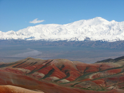
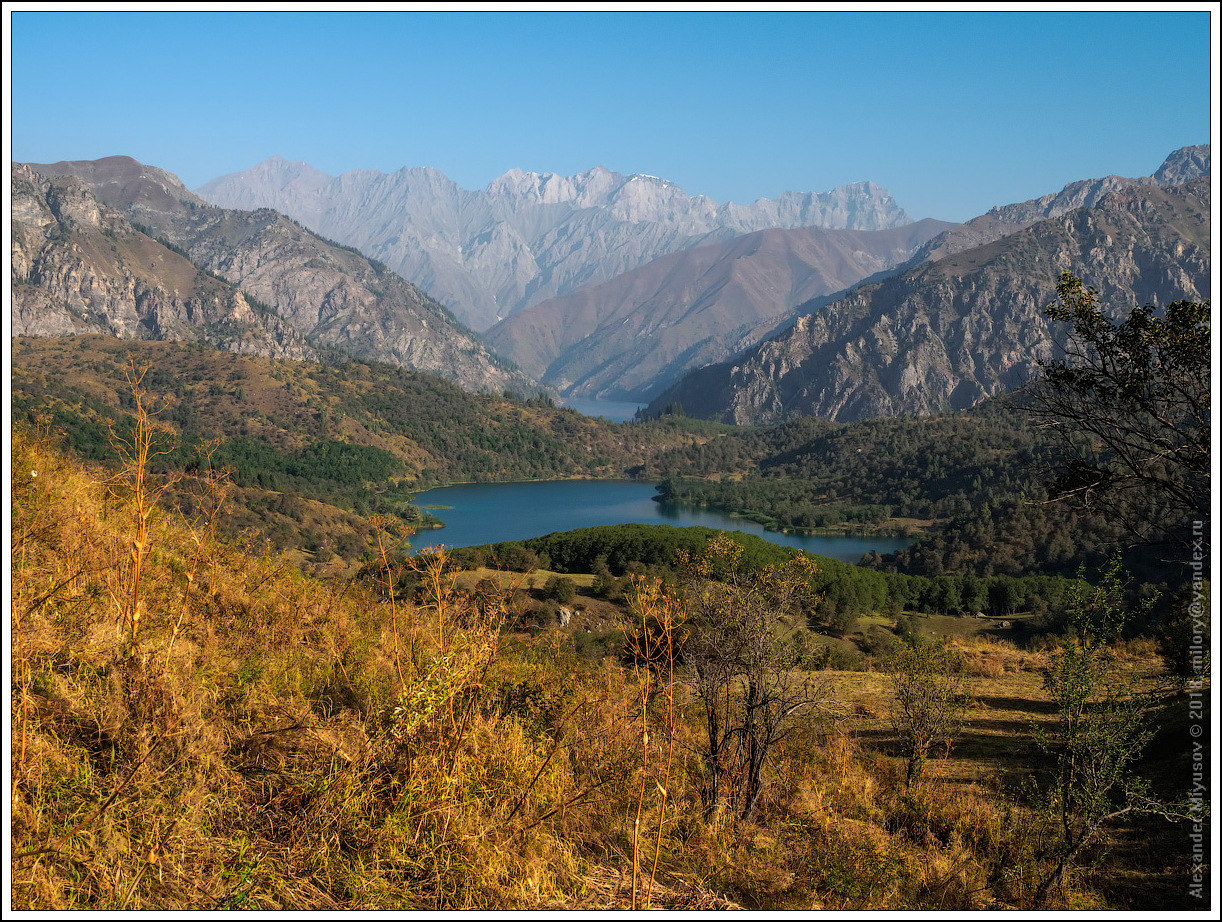
The passes open up views of endless valleys and picturesque gorges. Here, time seems to stop. The space fills the soul, and the wind carries with it the smell of pine needles and freedom.
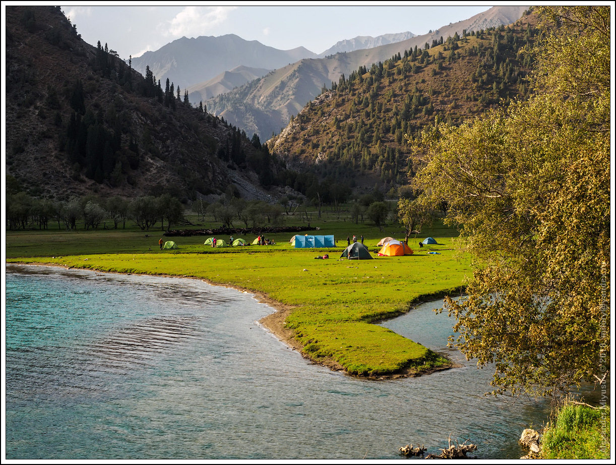
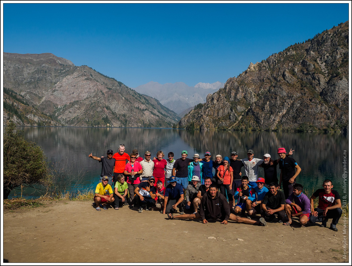
When the path approaches Sary-Chelek, nature begins to change. The forest becomes denser, the trees are taller, and the air is saturated with humidity. And finally, Lake Sary-Chelek opens before your eyes – the pearl of this path. It sparkles among the mountains, like a fairy-tale oasis. The water is clear and quiet, surrounded by green hills and snow-capped peaks. Here you want to linger, absorb this harmony and endless beauty.
This route is not just a path, but a symphony of nature, where each element, from the steppes of Talas to the mirror-like surface of Sary-Chelek, creates a single, majestic work.
Transport: You will be provided with a car from Bishkek to Talas, as well as from Sary-Chelek to Bishkek. Transfers to the airport.
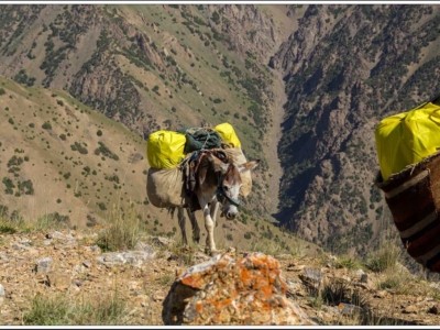
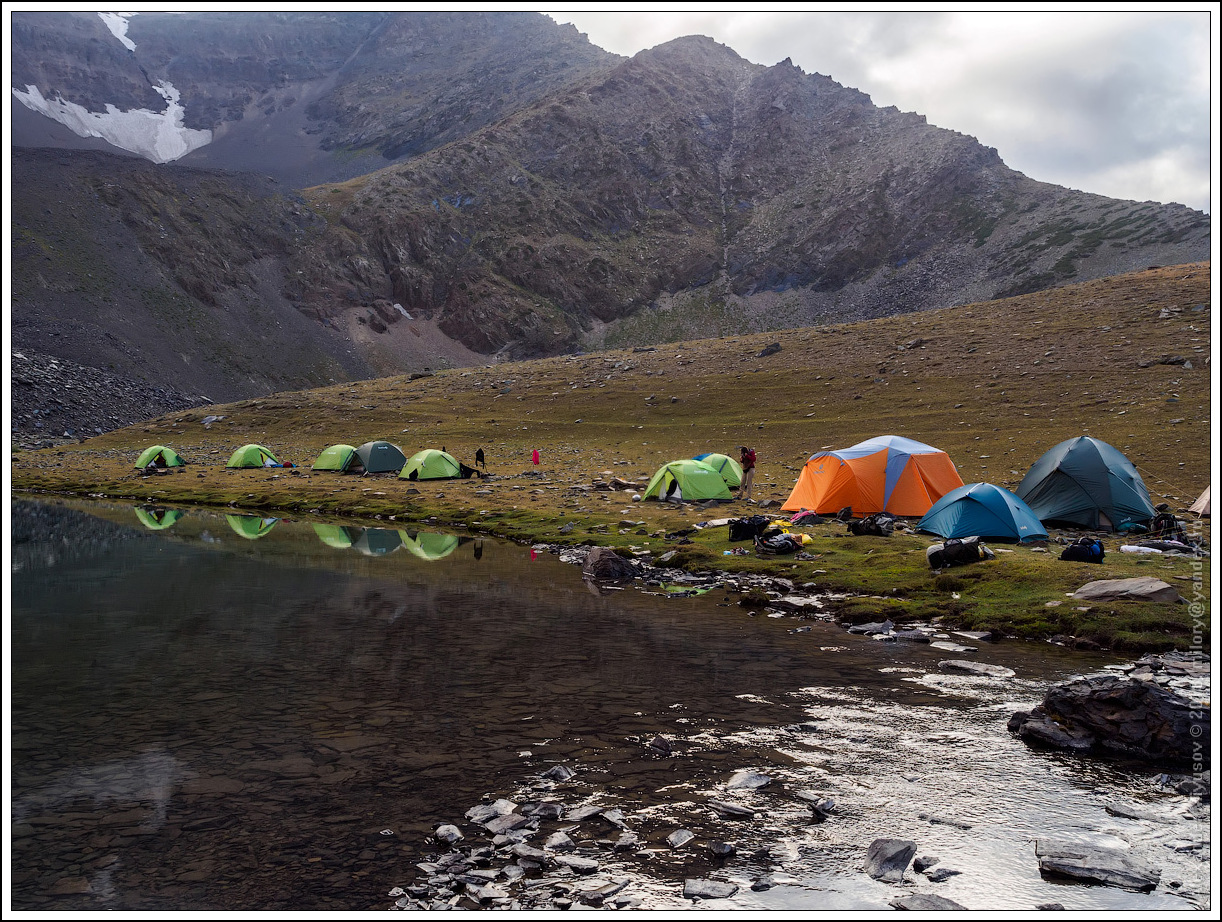
For a comfortable trekking, your cargo will be carried by horses. You will be able to enjoy the journey lightly.
In order to be prepared for weather changes, you must have a warm jacket, raincoat, sweatshirt, mountain sports boots, sleeping bag, mat, hat, sunglasses
From personal equipment you must have: a flask, a flashlight, a sleeping bag and mat, an individual first aid kit.
Meeting at the airport. Accommodation at the hotel. In the evening, a briefing and presentation of the Nomad's Trail. Dinner at an ethno teahouse.
The path runs through mountain passes, the high-mountain valley of Suusamyr, the Talas valley to the birthplace of Manas in the city of Talas. Preparation for the trek. Dinner. Accommodation at the hotel.
The beginning of the route. So, the start of the walking tour is in the birthplace of Manas in the city of Talas. Here is the national memorial complex "Manas Ordo" - a symbol that personifies both the nation itself and the statehood of the Kyrgyz. Here the name of the national hero Manas is in the air. In Talas, an excursion to the national complex "Manas Ordo".
The journey begins along the Urum-Aral River valley. Here you can still use any transport to get to the starting point. The mouth of the Urum-Aral River
is located near the village of Kyzyl-Dzhar. In the vicinity of the camp, an excursion to the valley of the Kumushtag River. In the Middle Ages, silver was mined here, as evidenced by ancient workings in the rock walls of the gorge. During the walk up the gorge, you will see ancient mazars. We go up, along the bed of the Urum-Aral River. Landscapes created by local elements - without excesses and special exoticism. Along the way, you will see a mine working resembling an ovring. There are also several man-made caves. Experienced travelers called the rock "Wrinkled Mountain". At the northern base of the "Wrinkled Mountain" you can clearly see the stonework for a safe transition to the beginning of the gallery. In 14 kilometers there is a confluence of the Urum-Aral and Chiyim-Tash rivers. This is a good place to spend the night in tents and meet local nomads. Campsite 1.
In April-May, tulips bloom on the grassy slopes of the mountains. Then there is a difficult climb up the Chiyim-Tash gorge along the river of the same name. Soft hilly relief forms have changed to a monumental rocky landscape. In the river valley there is a floodplain forest, represented by poplars, bushes and birches. Few tourists know about these places. Tourists are rare guests here. Rare beauty is hidden in these places. Here begins the wild nature of the Talas Range and the Western Tien Shan. In 15 kilometers you will reach the left tributary of the Kuyanda. Going a little higher, in the floodplain of the Chiyim-Tash River at the confluence of the rivers, you can set up field campsite 2. It is convenient to put up tents in the shade of the floodplain forest of birches, poplars and spreading bushes. The water from the clean streams that originate from perennial snowfields and flow into the Chiyim-Tash can be used for drinking.
The path lies to the pass of the same name at an altitude of about 3,500 m. We will have to ford the river several times and climb the steep slopes of the gorge. Along the way, on tanned stone blocks, you will encounter ancient petroglyphs - hunting scenes, individual drawings of animals. The further path runs from the petroglyphs to campsite 3. The distance from the second camp to the third is about 6-7 kilometers. In the vicinity of Camp No. 3 there are three beautiful high-mountain lakes, which owe their existence to retreating glaciers. High-mountain landscape, clean air, crystal-clear lakes - all this is the classic high-mountain landscape of the Talas Range. On this or the next day, we recommend taking an excursion to one of the lakes with floating icebergs. This small lake is located at the edge of a glacial tongue, from which chunks of ice periodically break off and slide along the surface of the lake - this is an amazing sight. Small waterfalls fall from one of the rocky ledges of the slope, which at such an altitude (more than 3500 m) seems unreal.
1 kilometer from the campsite 3, the trail takes you to the Chiyim-Tash pass. The pass offers a fantastic view of the Chatkal ridge, as well as a view of the Chiyim-Tash river valley. We stop for a rest at the pass and continue down the northern valley of the stream under the same name Chiyim-Tash. A three-kilometer descent along the river takes you to the confluence of the Chiyim-Tash and Kara-Kuldzha rivers. The confluence of the two rivers forms the source of the Chatkal river - one of the most beautiful rivers in Kyrgyzstan. The further route takes us up the valley of the Kara-Kuldzha river. After 6-7 km, we reach a convenient clearing and set up camp #4 here. There is an alpine landscape here, in a wide, high-mountain and calm valley there is no tree vegetation yet. This is the only place where the river becomes calm. Here you can also meet local shepherds who climb up here every May in search of fresh and abundant grass for their flock. They descend to the inhabited valleys only in September.
We leave campsite 4. Today's route will continue up the Kara-Kuldzha River valley and will take you to the eponymous pass at an altitude of 3,161 m. The trail goes along the picturesque slopes overgrown with spruce forest of the northern slope of the Chatkal Range. Almost imperceptibly, the trail changes from the Talas to the Chatkal Range. A kilometer after campsite #4, several clean water tributaries flow into the river from the right slope, which originate from small lakes. From here, leaving your backpacks, you can take a fascinating excursion to the lakes. From the Kara-Kuldzha Pass, you will have magnificent alpine panoramas. From here, you can see the spruce forests of the valley and the Chatkal Range. To your right, you can see the At-Oynok Range, to your left, the Talas Range. The picturesque pass is a great place for a rest stop and for avid photographers who can enjoy the landscapes and panoramas. Further down the Kara-Kuldzha Valley. Periodically, the trail crosses from one bank of the river to the other. Here, in such river valleys, there is no concept of a permanent trail. It changes depending on the past floods. In some places, the trail again goes onto green forest slopes. Having reached the confluence of the Kashka-Su and Kara-Kuldzha Rivers, you need to choose a place for camp 5. Here, in the floodplain of the Kara-Kuldzha River, there is a rather convenient place for a field camp. Day 9. We leave campsite 5. We also leave Kara-Kuldzha, and our further acquaintance will be with the Kashka-Su River. The Kara-Kuldzha River, gaining volume, flows into the larger Uzun-Akmat River, which feeds the Toktogul Reservoir. The further path is laid along the Chatkal ridge, it is no less interesting. After a few kilometers, the forest zone ends, and you again find yourself in the alpine zone. Due to the difficult rugged terrain, today's journey should take at least 8-9 hours. Having reached the Kashka-Suu pass (more than 2000 m), you can again see a beautiful panorama. But today's long journey after the pass will reward you with fascinating studies of ancient petroglyphs, the view of which will open up to you in the vicinity of the right tributary of the Mula-Tash. Along the way, you will come across shepherds' camps in the river floodplain, where you will be offered to drink fresh kumys and taste delicious kaymak with flatbread. Local beekeepers will offer you mountain honey. Hospitable local nomads can offer you to rest in a yurt, where, of course, they will tell you about the life and nature of the Western Tien Shan. Do not refuse the offer! In the vicinity with petroglyphs - a magnificent clearing for the next camp #6. The tent camp can be set up in the shade of spruce trees or in the wide river floodplain.
We also leave Kara-Kuldzha, and our further acquaintance will be with the Kashka-Su River. The Kara-Kuldzha River, gaining volume, flows into the larger Uzun-Akmat River, which feeds the Toktogul Reservoir. The further path is laid along the Chatkal ridge, it is no less interesting. After a few kilometers, the forest zone ends, and you again find yourself in the alpine zone. Due to the difficult rugged terrain, today's journey should take at least 8-9 hours. Having reached the Kashka-Suu pass (more than 2000 m), you can again see a beautiful panorama. But today's long journey after the pass will reward you with fascinating studies of ancient petroglyphs, the view of which will open up to you in the vicinity of the right tributary of the Mula-Tash. In the floodplain of the river along the way there are shepherds' camps, where you will be offered to drink fresh kumys and taste delicious kaymak with flatbread. Local beekeepers will offer you mountain honey. Hospitable local nomads can offer you a rest in a yurt, where, of course, they will tell you about the life and nature of the Western Tien Shan. Do not refuse the offer! In the vicinity of the petroglyphs - a magnificent clearing for the next camp 6. The tent camp can be set up in the shade of spruce trees or in a wide floodplain of the river.
It takes 2-3 hours. But the path is quite eventful. The path, laid down the valley of the Kashka-Suu River, will lead to the confluence with the Kyzyl-Suu River, from where it will continue down along the Kara-Suu River. After about 5 km, you will get to the beautiful Kara-Suu Lake. The entire path indicates that in these places, during periods of active precipitation, frequent mudflows occur. This is evidenced by the recently changed relief, as well as the many trunks and roots of trees lying chaotically along the river bed. Here it becomes clear that the lower parts of the populated valleys are reliably protected from mudflows by forests and bushes. This is another important function of forests. Lake Kara-Suu is located at an altitude of 1802 meters. This magnificent place will not leave indifferent even the most fastidious travelers. On the shore of the lake there is a beautiful clearing for tent camp 7.
Those who wish can swim in the clean and refreshing waters of the lake. Here you can see various species of birds. Insects that hide from feathered hunters in dense thickets of bushes are also very diverse. Today will be the most memorable day. The further path goes along a steep slope to the Kotormo Pass. After 2 km from the campsite you will reach the pass - 2446 m. From the pass there is a fantastic view of Lake Iri-Kol - one of the lakes of the Sary-Chelek Nature Reserve. A short transition from campsite 7 to campsite 8 takes about 5 km. But the surrounding nature of this part of the trail will keep you in places with magnificent panoramas and interesting natural phenomena for a long time. In these places, the mountain trail is quite difficult and requires caution and attention. It goes along steep rocky slopes, in places it turns into ledges buried in thickets of bushes. It is easy to stumble here. The next stop is 8 - on the shore of Lake Iri-Kol.
Clean water and the reflection of the neighboring mountains in the surface of the lake. The singing of morning birds and a gentle breeze in the treetops. The morning on Iri-Kol is wonderful! From the surroundings of the lake, a panorama of Lake Sary-Chelek opens up. Today's transition to Lake Sary-Chelek through forests will take about 2 hours. Having rounded Lakes Chacha-Kol and Kyly-Kol, you will come to Lake Sary-Chelek.
Sary-Chelek is one of the most popular places for residents of Kyrgyzstan and visitors from the neighboring Fergana Valley. Accommodation in a guest house.
On the way to Bishkek: Toktogul reservoir, epic Chykan gorge, alpine meadows of Suusamyr valley, Tuya-Ashu pass. Accommodation at the hotel.
Transfer to the airport
Tours to Kyrgyzstan
On request
6 days
Tours to Kyrgyzstan
On request
7 days
Tours to Kyrgyzstan
On request
6 days
Tours to Kyrgyzstan
On request
6 days
Tours to Kyrgyzstan
On request
14 days